Este puesto ya no está disponible.

Stagiaire / Intern Data Scientist: Satellite Imagery super resolution
Prácticas(6 meses)
Paris
Salario: No especificado
Fecha de inicio: 12 de mayo de 2024
Teletrabajo ocasional
Formación: Grado

jobs.faq.title
El puesto
Descripción del puesto
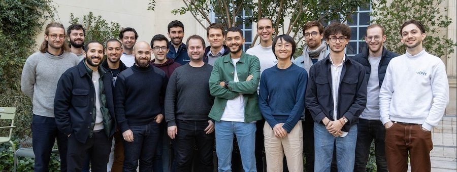
QuantCube Technology’s satellite imaging team is dedicated to creating macroeconomic indicators from satellite data. The team has a 10-years experience with satellite imagery like optical, radar or atmospheric to provide now-cast of various economic variables worldwide.
The proposed internship will focus on implementing a super-resolution algorithm for land surface temperature (LST) data. While land surface temperature is a common measure obtained from multi-spectral satellite images, its low spatial resolution makes processing challenging and reduces the scope of applications.
To address this, various methods based on physical models or machine learning models are possible. The internship will concentrate on exploring these different approaches. The intern will have the opportunity to engage in a comparative analysis of these methods to propose innovative solutions for enhancing the spatial resolution of LST. After researching the topic, the intern will implement and package the selected algorithm in Python.
-En Français-
L’équipe d’imagerie par satellite de QuantCube Technology est dédiée à la création d’indicateurs macroéconomiques à partir de données satellitaires. L’équipe possède une expérience de 10 ans dans l’utilisation d’images satellite telles que les images optiques, radar ou atmosphériques pour fournir des prévisions instantanées de diverses variables économiques à l’échelle mondiale.
Le stage proposé se concentrera sur la mise en œuvre d’un algorithme de super-résolution pour les données de température de surface terrestre (LST). Bien que la température de surface terrestre soit une mesure courante obtenue à partir d’images satellitaires multi-spectrales, sa faible résolution spatiale rend le traitement difficile et réduit le champ d’application.
Pour remédier à cela, diverses méthodes basées sur des modèles physiques ou des modèles de Machine Learning sont possibles. Le stage se concentrera sur l’exploration de ces différentes approches. Le stagiaire aura l’opportunité de participer à une analyse comparative de ces méthodes afin de proposer des solutions innovantes pour améliorer la résolution spatiale de la LST. Après avoir étudié le sujet, le stagiaire mettra en œuvre et emballera l’algorithme sélectionné en Python.
Références
A Data Mining Approach for Sharpening Thermal Satellite Imagery over Land
Convolutional Neural Network Modelling for MODIS Land Surface Temperature Super-Resolution
Requisitos
Strong level in python
Abilities to lead a literature review
Good general level in mathematics
Mastery of machine learning models (PyTorch, CNN, U-net architecture)
Having already worked on image processing
Good understanding of physics being multi-spectral imagery
Fluent in English
QuantCube recruits and recognises all talents.
Niveau avancé en Python
Capacité à mener une revue de littérature
Bon niveau général en mathématiques
Maîtrise du Machine Learning (PyTorch, CNN, architecture U-net)
Avoir déjà travaillé sur le traitement d’images
Bonne compréhension de la physique appliquée à l’imagerie multi-spectrale
Maîtrise de l’anglais
QuantCube reconnaît et recrute tous types de profils
Proceso de selección
1st interview: 30min
At home exercise related to the subject
Technical interview: 1h
¿Quieres saber más?

Rencontrez Alice, Data Scientist
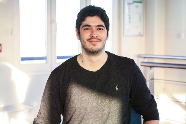
Rencontrez Oussama, Data Architect
¡Estas ofertas de trabajo te pueden interesar!
Estas empresas también contratan para el puesto de "{profesión}".